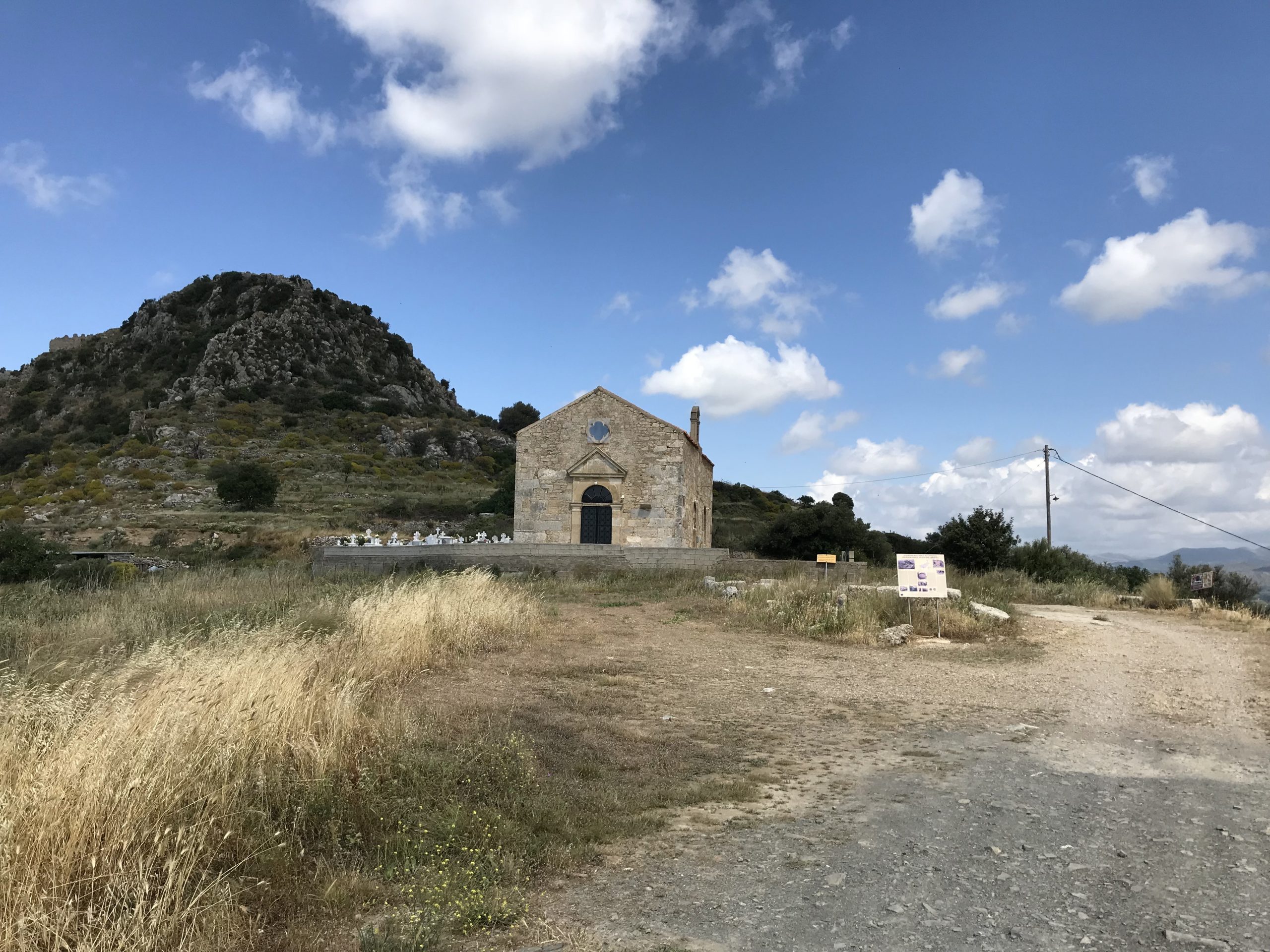
In Crete and throughout Greece the E4 path was founded and is maintained by the Hellenic Federation of Mountaineering and Climbing.
There is one large trekking or hiking route on Crete, which is part of the E4 European Long Distance Path. The E4 trail covers the White Mountains (Lefki Ori), Mount Psiloritis (Mount Ida) and the Mount Dikti. The E4 Path is 320 km long.
It begins at Kastelli Kissamos and crosses along the whole Island reaching Kato Zakros in the east where it ends. In Crete, the E4 path is signposted by yellow markers and yellow and black arrows.
How To Get There
Start points and end destinations for paths in the municipality of Kissamos. There are more paths in Chania, Rethymnon and Heraklion. The paths can be broken down into smaller walks or hikes, simply because most of them go through villages.
Kissamos – Sfinari 22Km hiking path and 10Km on roads.
Starting at Kissamos the path takes you to the village of Kato Palaiokastro (2 km), Korfina (2 km), Grigoriana (2 km), Polirinia (2 km), Galouvasas (2 km), Zachariana (2,5 km), on an asphalt road to Sfinari (7 km).
Sfinari – Chrissoskalitissa 32Km all on roads.
Starting from Sfinari the paths takes you ano Sfinari (1 km), Kampos (5 km), Keramoti 5 km), Amigdalokefali (3 km), Simantiriana (3,5 km), Papadiana (2,5 km), Kefali (1 km), Vathi (2 km), Plokamiana (2 km), to the Chrysoskalitissa Monastery (7 km).
Chrissoskalitissa – Paleochora 14Km all on roads.
Starting from Chrysoskalitissa Monastery the paths take you above Elafonissos (1 km), Agios Ioannis (4 km), Koundouras (4,5 km) and to Paleochora (7,5 km).
-
You will need a good map of Crete if you want to take on walking the E4 European Path in Crete.
-
Spring is the best hiking time, in summer the long distances can be a problem due to high temperatures. Keep in mind that snow can be found at the high trails even at summer times.
-
Check the weather beforehand.
-
Do not underestimate the nature of the Cretan mountains.
-
Make sure you have some water with you, some routes might keep you for many kilometres from the closest inhabited location.
-
On mountain routes, within the E4, you will need full mountaineering gear, although, at lower altitudes, lighter equipment will be sufficient.
-
Sunscreen might be required and its good to always wear some.
-
When going through villages the names can be different from the map (sometimes). Ask the locals to make sure you are on the right track.
-
To locate the exact starting points you can also ask in local travel agencies.